

Merriam-Webster’s Student Atlas - Features Full-Color Physical, Political, & Thematic Maps
About
Explore the world around you with this engaging collection of maps designed especially for middle schoolers.The latest edition of Merriam-Websters Student Atlas has been updated to reflect recent global events and features abundant full-color physical, political, and thematic maps.Discover the worlds landforms and bodies of water, the highest and lowest elevations, and learn more about ocean currents, and wind patterns.Thematic maps cover diverse topics such as continental drift, ocean floor, climate, natural resources, and population density.Features up-to-date statistics and global information.Packed with photographs and easy-to-use charts and graphs and featuring a glossary with brief definitions, this book is the perfect resource for kids interested in exploring the world around them both at home and in the classroom.
Why it’s great
Explore the world through maps designed for middle schoolers: this updated edition features full-color physical, political, and thematic maps covering landforms, ocean currents, wind patterns, continental drift, and much more. A rich reference tool for geography students and young travelers who want to understand the physical and political landscape of the world they hope one day to explore.
IMF Parent Metrics
Related Resources
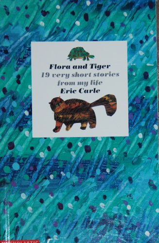
Flora and Tiger: 19 very short stories from my life
Why We Picked It
Nineteen short personal vignettes, each tracing a memory that formed Eric Carle: his father's animals, his father's drawings, his father's stories. A tender, autobiographical glimpse at the life that produced The Very Hungry Caterpillar.

Awesome Construction Activities for Kids
Why We Picked It
This hands-on activity book for ages 5 to 10 guides young builders through cup towers, railroad models, and beyond, introducing construction concepts through projects they fully design and complete themselves.
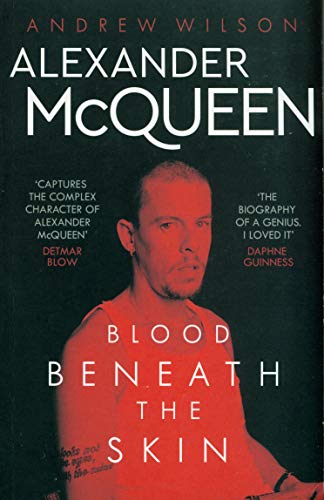
Blood Beneath the Skin
Why We Picked It
This compelling biography explores the brilliance, personal struggles, and fearless creative vision that made Alexander McQueen one of fashion's most original minds.
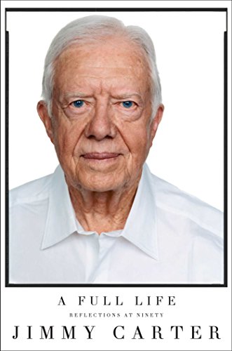
A Full Life: Reflections at Ninety
Why We Picked It
At ninety, Jimmy Carter reflects on his presidency, his faith, his marriage, and his decades of humanitarian work with disarming frankness, making this New York Times bestseller essential reading for high-schoolers studying American political life.